
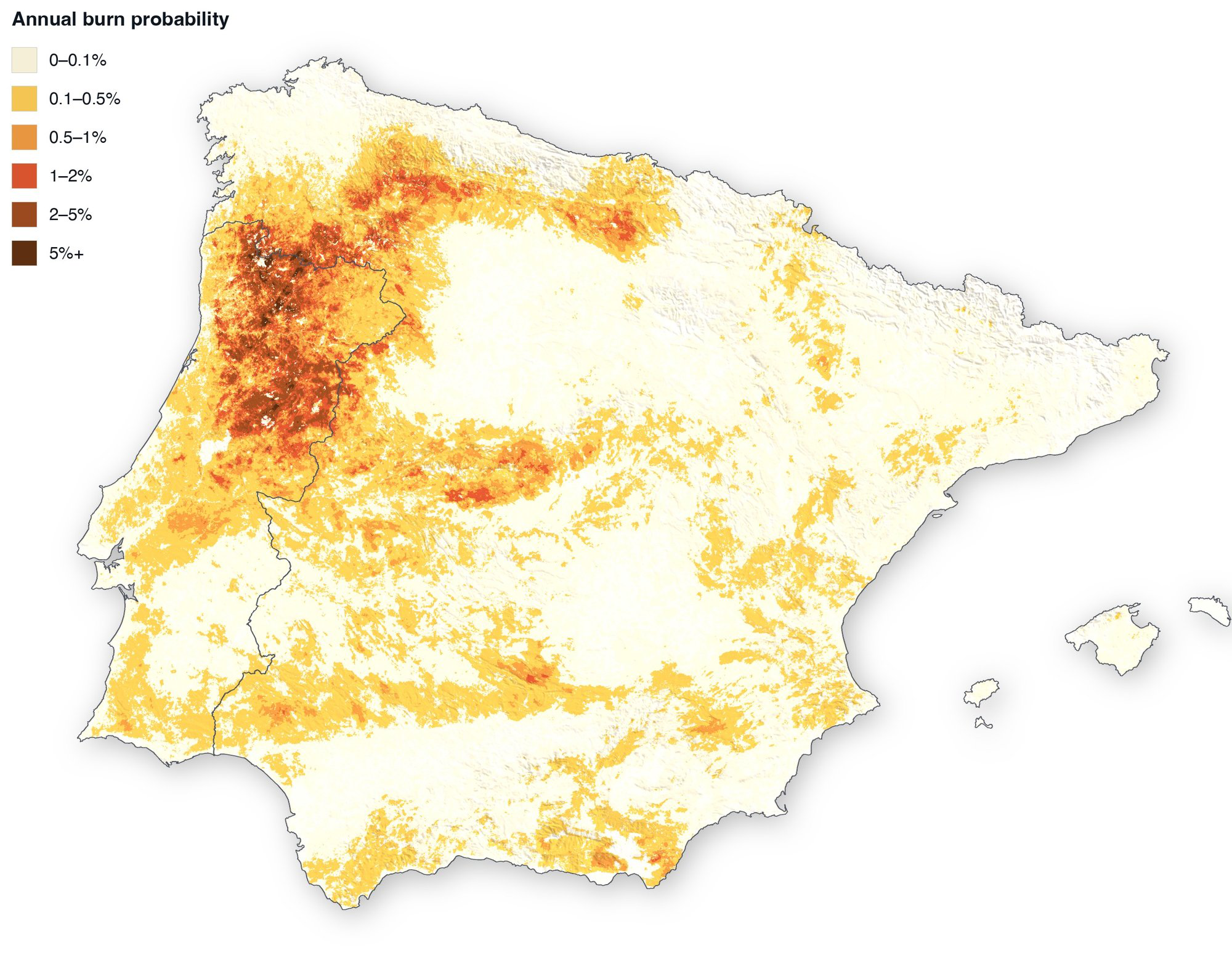
Envitel builds probabilistic wildfire risk models for the insurance and reinsurance market. Our first product, EnviFIRE v1, runs 10,000 synthetic years of fire weather, ignitions and fire growth across Spain and Portugal, and turns them into burn probability for every 100-metre cell.
The problem
European wildfire losses have grown beyond the tools available to quantify them, and the Iberian Peninsula carries the continent's most active fire regime. In 2025 the EU recorded its worst fire season since harmonised records began, and Spain its worst in more than three decades.
The catastrophe models the market prices against were built for North America. That gap is why climate-risk disclosure and underwriting increasingly demand a defensible, European-first view of this hazard.
burned across the EU in 2025, its worst season on record: the size of Cyprus
insured loss from the January 2025 Los Angeles fires, the costliest on record
of European natural-catastrophe losses go uninsured
Sources: EFFIS (Copernicus / JRC) · Swiss Re · EIOPA
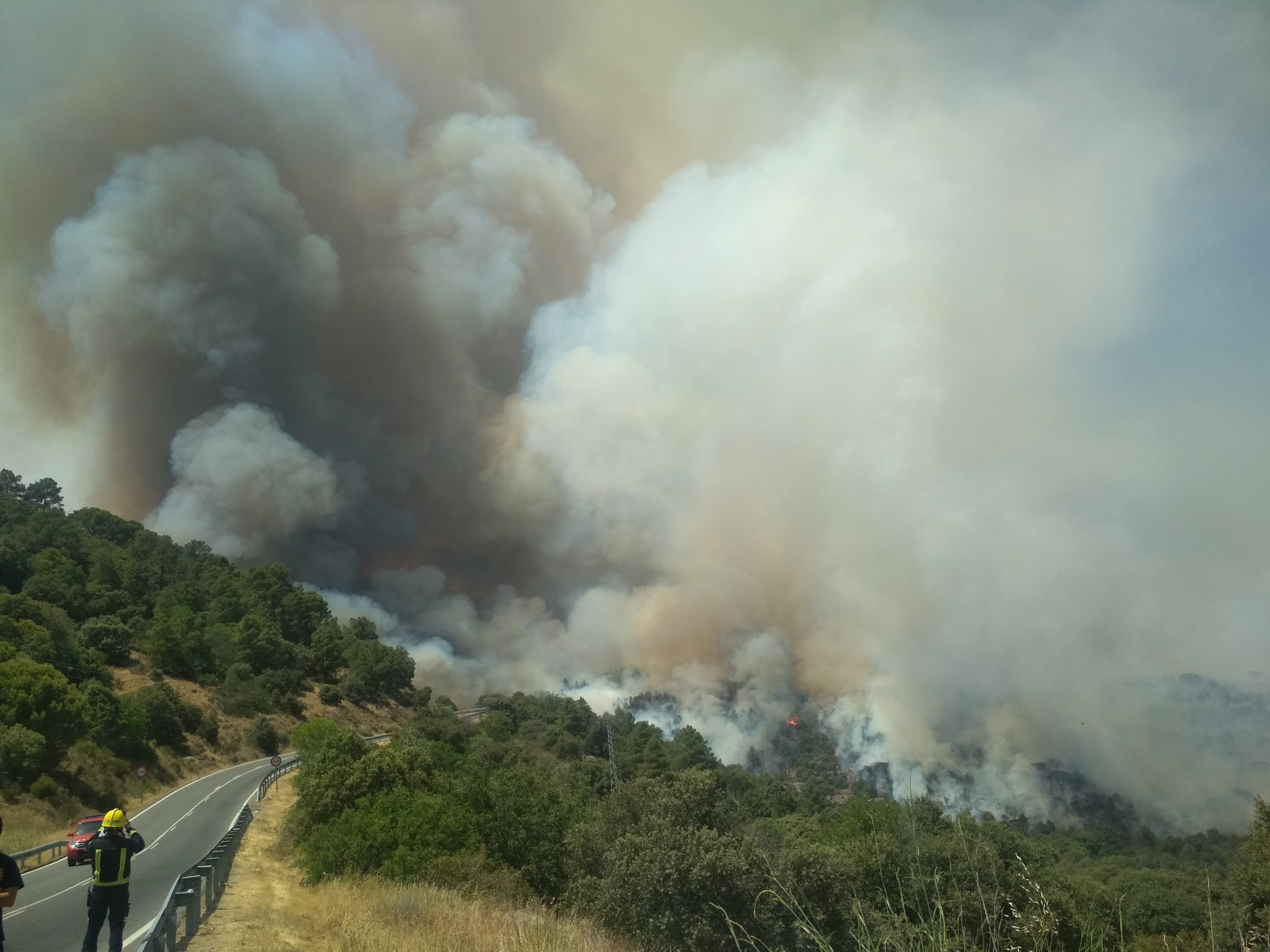
This is not a distant risk. It is the landscape we model, a few kilometres from where we work.
Cenicientos, Madrid region, 2019. Photo: Canizipi (CC BY-SA 4.0)
What we do
Most wildfire tools extrapolate from the footprints of past fires. Envitel simulates the fires themselves, thousands of years of them, and reads the risk from what they do.
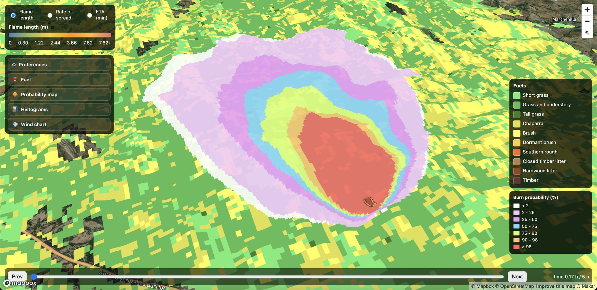
Fire growth is solved with a physical spread model over real terrain, fuels and wind. A result reflects the specific slope and vegetation of a place, not a regional average.
10,000 synthetic weather years grounded in the observed record drive ignition, suppression and spread, and accumulate into burn probability for every cell.
Every layer is produced under near-future CMIP6 climate projections grounded in the observed record, so a portfolio is read under the climate it actually faces.
The product
Hazard, delivered the way the market works with it. EnviFIRE v1 covers Spain and Portugal today; a European release on the same methodology follows later this year.
Burn probability and fire-intensity layers for every 100-metre cell, portfolio-ready on the standard European grid as GeoTIFF rasters.
Locations or portfolios in, burn probabilities and return periods out, delivered as CSV. Single points or whole books.
Integrated against an insured portfolio downstream, the layers yield the exceedance-probability view underwriting and capital modelling need.
Burn probabilities at return periods are available today, for any point in the Iberian Peninsula.
Ask for a location checkEvery stage of the pipeline is published in a live methodology platform, with its inputs, modelling choices, validation evidence and limitations. We walk partners through it under a simple NDA.
10,000 synthetic fire-weather years, resampled from the observed record and shifted by climate projections.
Where and how often fires start, learned from weather, drought, fuels, terrain and human pressure.
How long a fire burns before it is contained, fitted to the European fire record.
How dry dead and live vegetation is, day by day, cell by cell.
Physical fire growth over real terrain, fuels and wind, at 100 m.
Millions of simulated fires become probability and intensity layers.
Every component gated against observations before release.
EnviFIRE v1 is validated against the observed European fire record, climate zone by climate zone, and every result can be regenerated and audited. The full specification — layers, event data, climate projections, validation evidence — lives in the Product Overview and the methodology platform.
Europe's wildfire risk is still priced with models built for another continent. The Iberian Peninsula carries the most active fire regime in Europe, and European portfolios deserve a model calibrated to European fuels, weather and fire behaviour, not adapted after the fact.
2025 was the EU's worst fire season on record, extreme fires are projected to rise by around 30% globally by 2050, and climate-risk disclosure is hardening from good practice into obligation. The market needs a defensible European view of this peril now, not next decade.
Envitel was built for exactly this question: physics at ground level, validation run climate zone by climate zone, documentation end to end, and the pace of a company engineered AI-first with the checks built in. From Madrid, inside the geography we model.
The company
Envitel was founded to build one thing well: a wildfire catastrophe model the European insurance market can trust. EnviFIRE v1, released in July 2026, is where that starts. We work with reinsurers, brokers, MGAs and insurers with European exposure, and the same numbers serve anyone who carries wildfire risk on their books or their land.
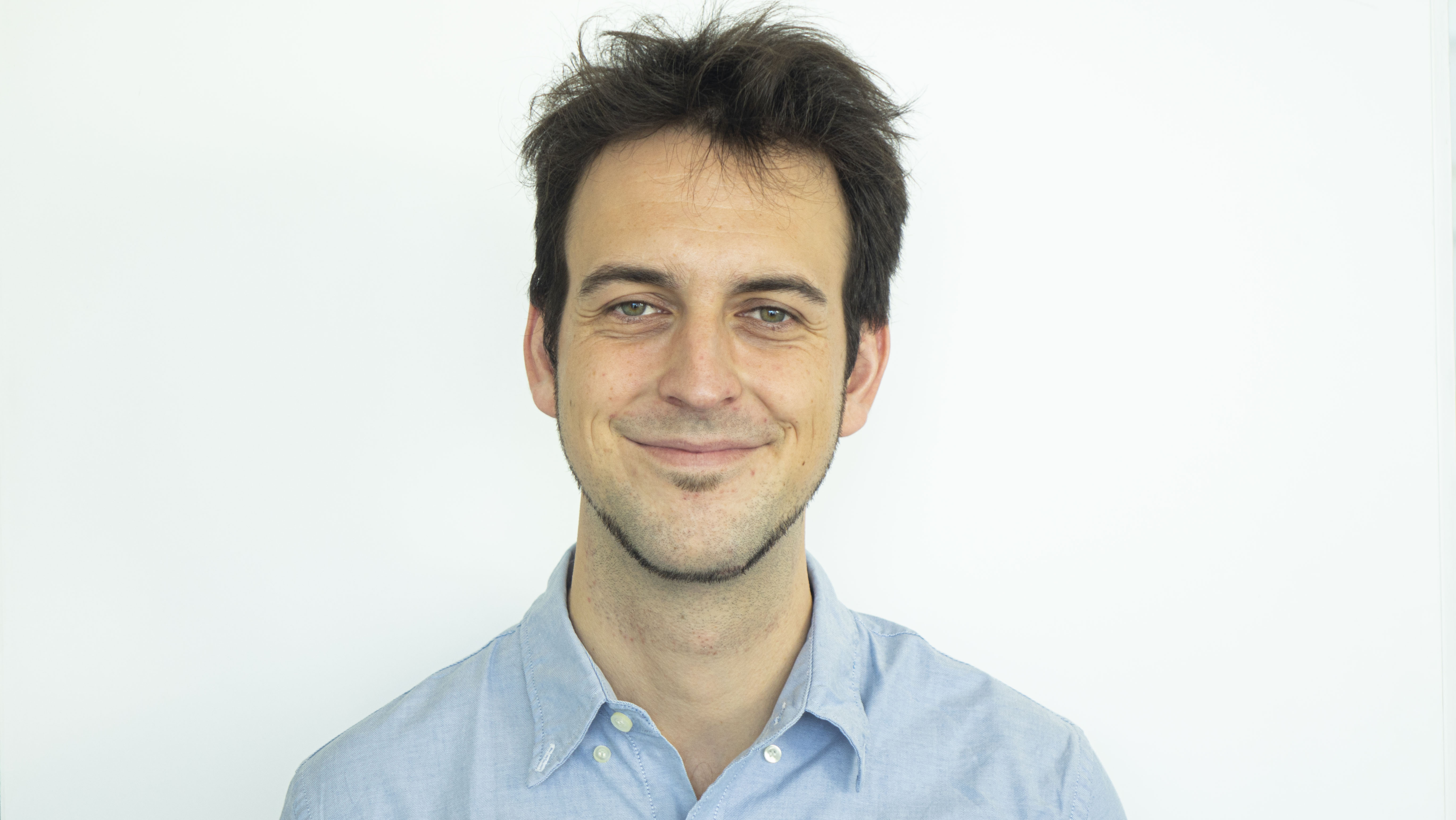
CEO & Co-founder

CTO & Co-founder
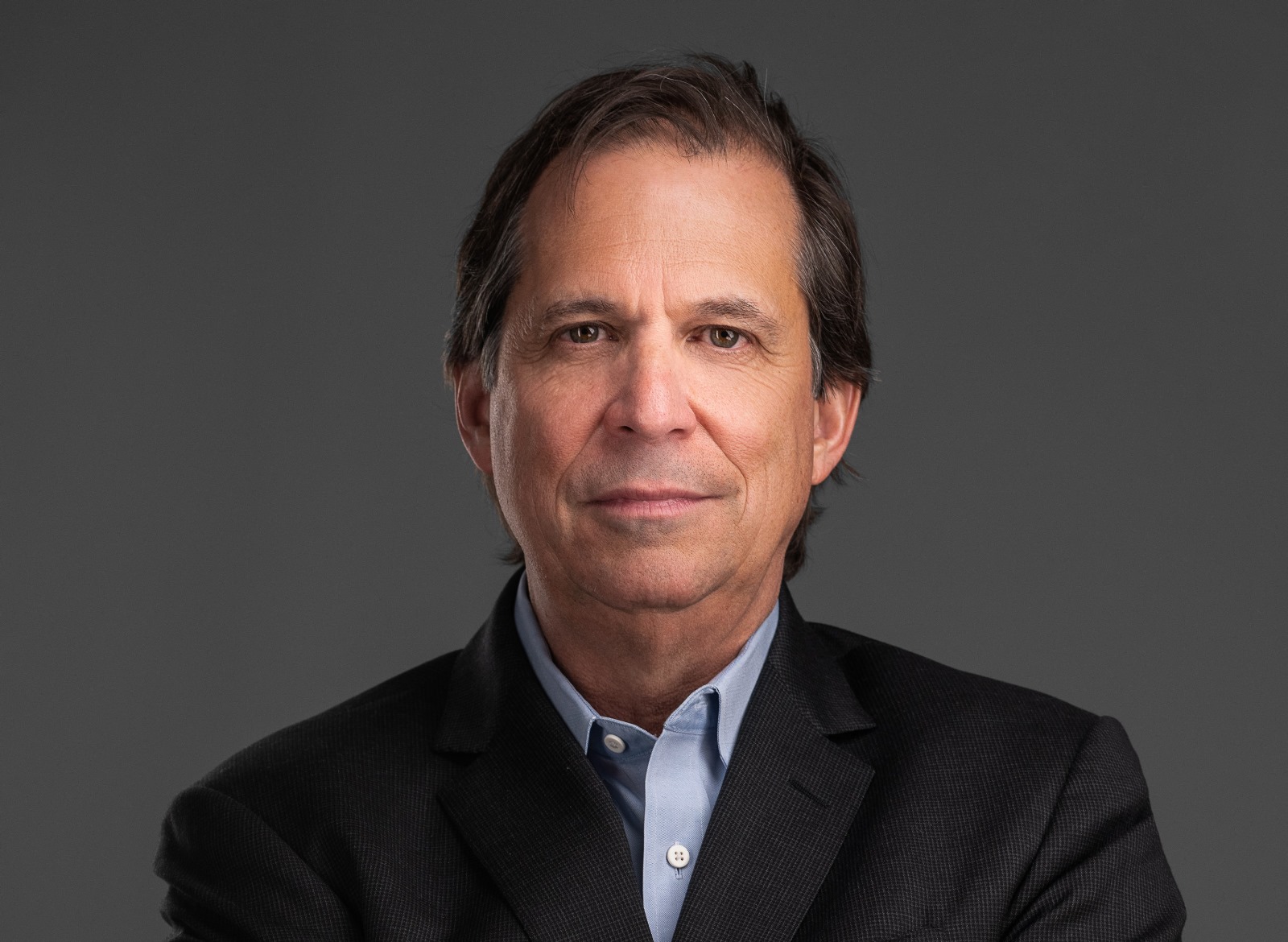
Founding Advisor
Working with Envitel
With the current wildfire season underway, we can deliver burn probabilities at return periods for any point in the Iberian Peninsula now. Ask for the product overview, or tell us about your portfolio.
contact@envitel.aiEnvitel Inteligencia Ambiental, S.L. · Madrid, Spain